A little about Aruba
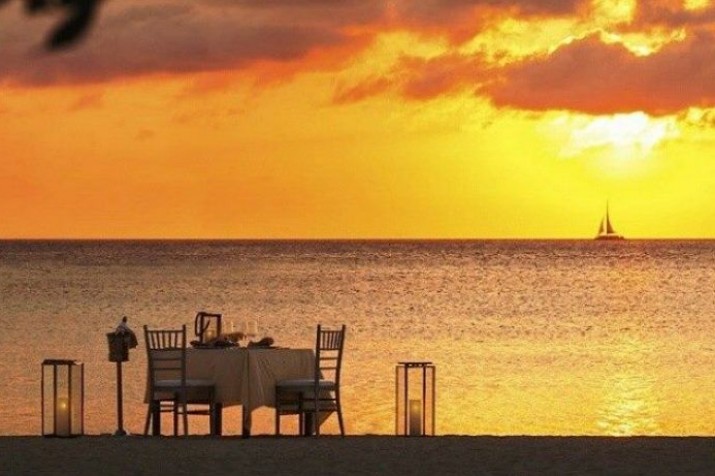
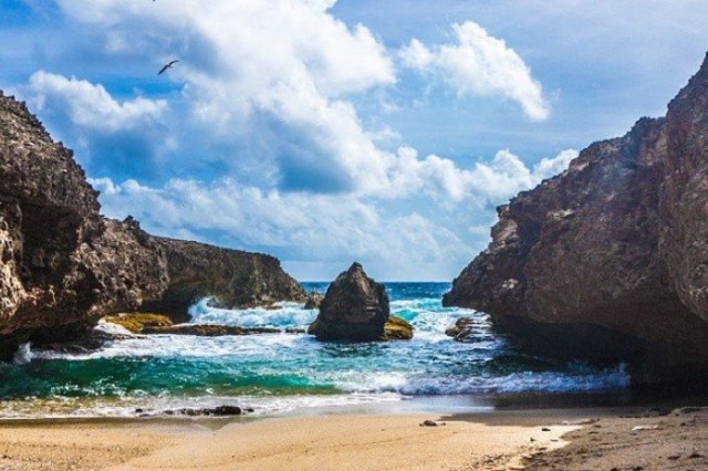
Our white-sand beaches, cooling trade winds and warm, friendly people are just a few reasons why so many people return to Aruba year after year. Our island is 19.6 miles long and 6 miles across, with a total area of 70 square miles. We’re located just below the hurricane belt, and unlike many islands in the Caribbean, our climate is dry, so we rarely have a rainy day. On the south and west coasts of Aruba, you’ll find Oranjestad, our capital city, and miles of beaches that have been named some of the best in the world. In the interior of the island, you’ll find Arikok National Park, a desert like preserve with a variety of wildlife, cacti and dramatic rock formations. You’ll also find some of Aruba’s most striking views, as the ocean crashes against the rugged shoreline below.
The history of Aruba
Aruba's first inhabitants were the Caquetio Indians from the Arawak tribe,who migrated there from Venezuela to escape attacks by the Caribs. Fragments of the earliest known Indian settlements date back to about 1000. Due to Aruba's mostly distant location from other Caribbean islands and strong currents in the sea which made canoe travel to the other islands difficult, the Caquetios remained more tied to South America than the Caribbean. In 1636, Aruba was acquired by the Netherlands and remained under their control for nearly two centuries. In 1796, the town that was later named Oranjestad, was founded and became the island's capital. During the Napoleonic wars, the British Empire took control over the island, between 1799 and 1802, and between 1804 and 1816, before handing it back to the Dutch. In 1986, Aruba seceded from the Netherlands Antilles and became a separate, autonomous member of the Kingdom of the Netherlands.
No notifications yet.


